
Expedition Maps and Galleries
Excursion Maps and Photo Galleries around Australia

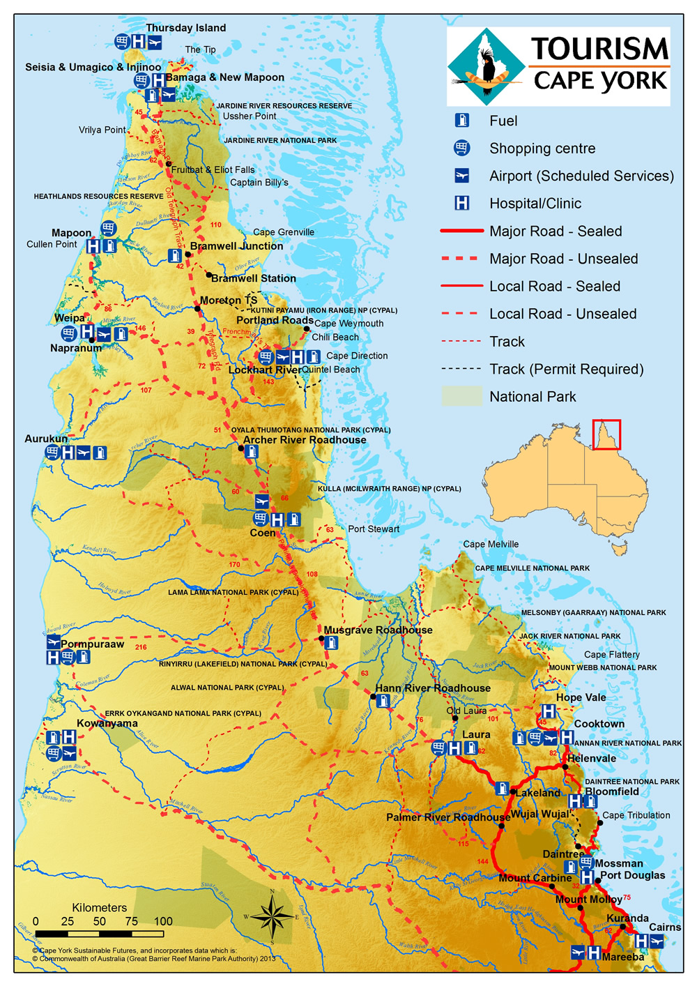
Link to Map
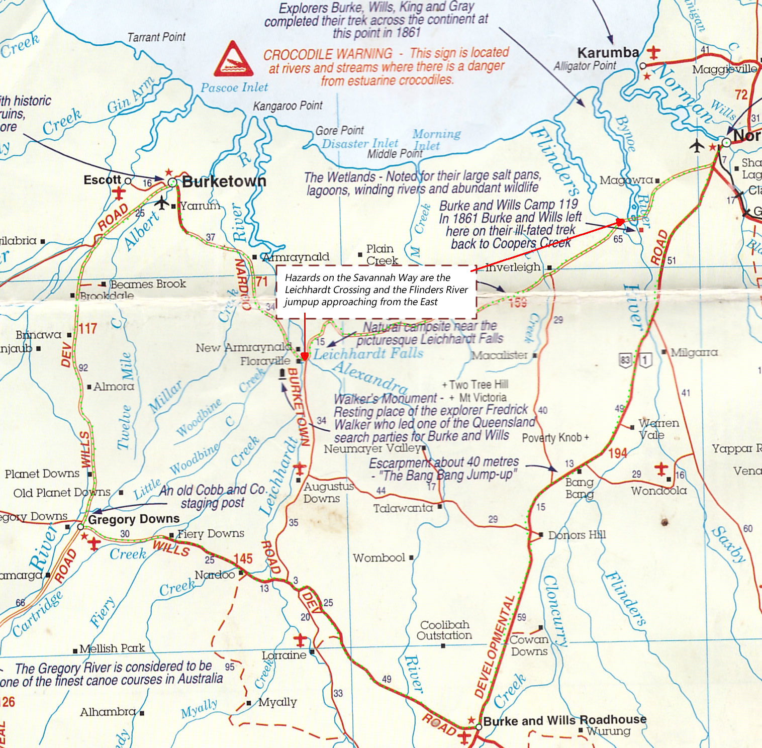
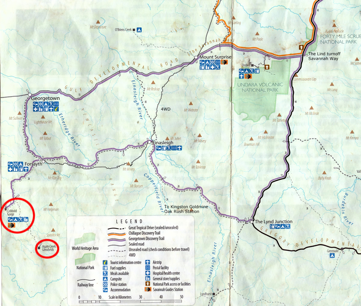
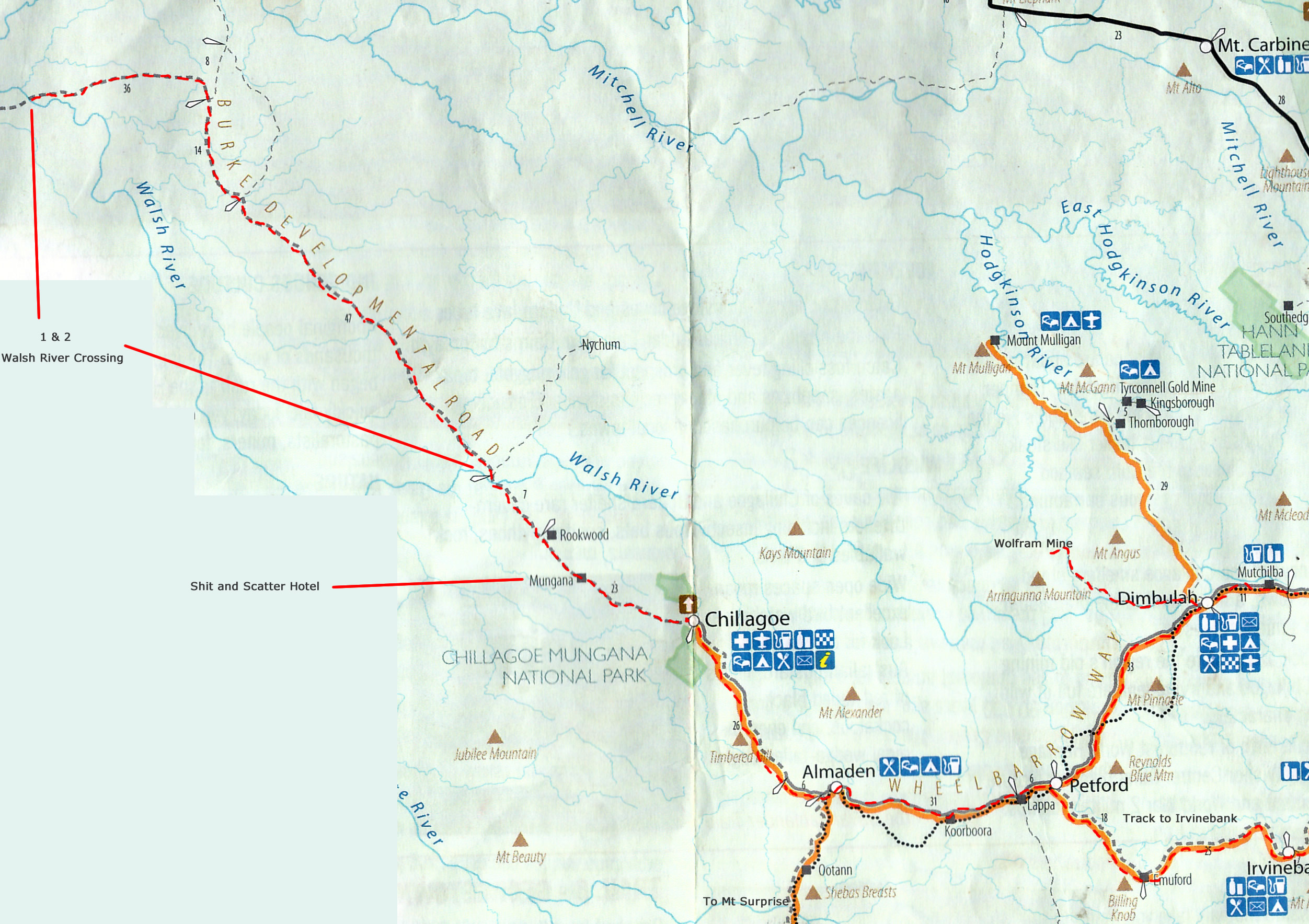
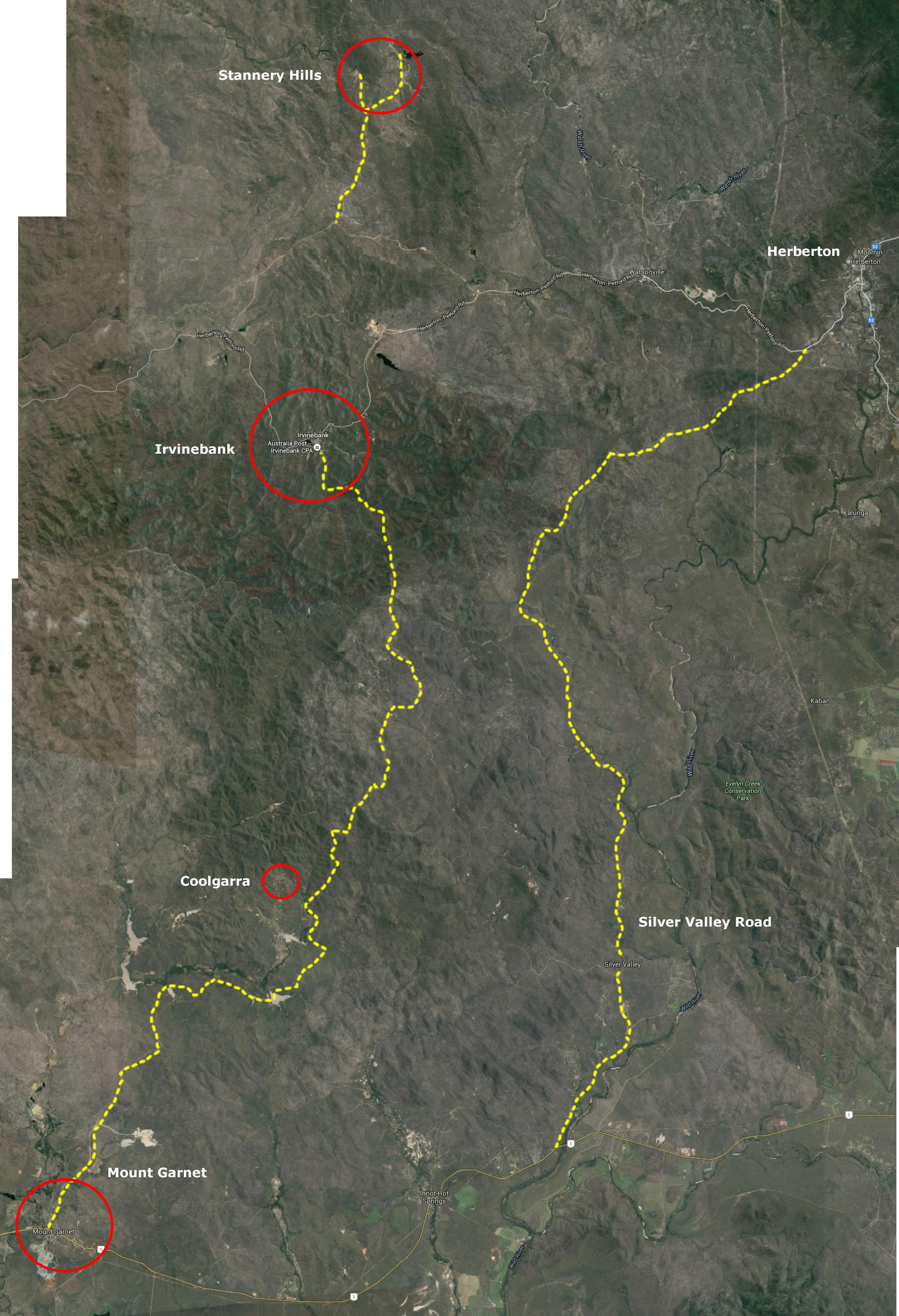
Expandable Maps of expeditions. Guide only. Take into account time of year and local conditions before travelling.
Expand Map
Some Maps can be expanded by clicking on the icon located top right-hand corner of map.

Link to gallery
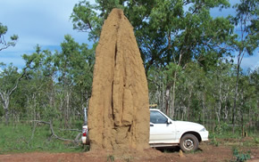
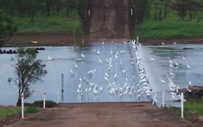
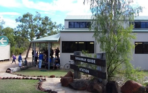
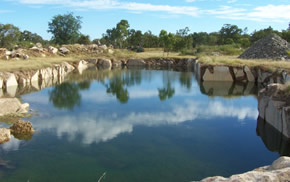
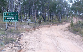
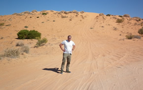
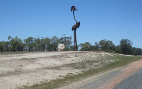
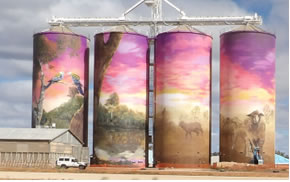
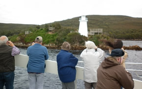
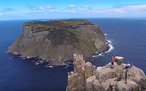
Pictures of what you might see along the way and of the destination.
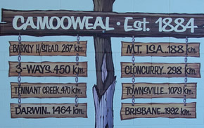
Chillagoe - Marble mine, Smelter and limestone caves then Walsh River, Wolfram Camp, Shit and Scatter Hotel site
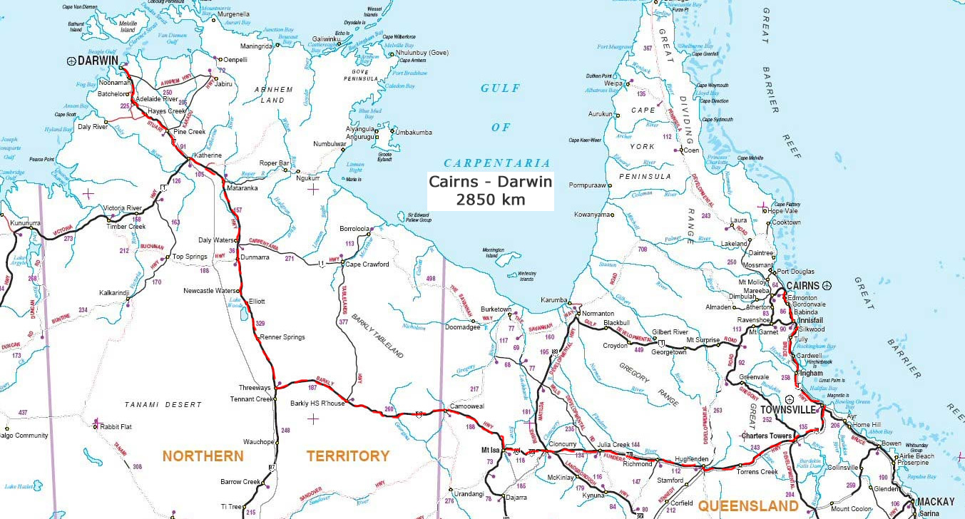
Mt Garnet, The Lynd, Hughenden, Winton, Middleton, Boulia, Bedourie, Birdsville, Windora, Charleville
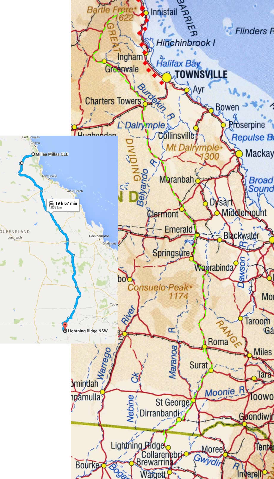
Run Down South from Millaa Millaa to Lightning Ridge via A55 through St George and Hebel